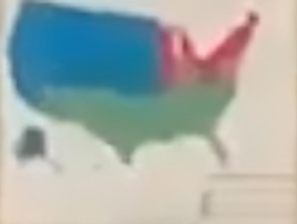
Just FYI - Someone posted earlier that each of the 3 areas has equal populations of about 105 million each - they displayed another map with slightly different colors that had the populations broken down by region.
Saw that, but wasn't convinced these maps are equivalent in the way of population in that aspect. I think we need a more focused discussion and therefore the reason for the image for closer inspection and enhanced discussion.
No, the original video posted did not do a good job of calling out the video and blowing it up for closer inspection. Sorry, we needed a better and more convenient view.
Don't know why the latest wh clown would have any sensitive documents on camera, but my nefarious guess would be that's the Vax batch map, color coded for the mortality phases.

Just FYI - Someone posted earlier that each of the 3 areas has equal populations of about 105 million each - they displayed another map with slightly different colors that had the populations broken down by region.
Here's one with an overlay of the states, not clear on the green-red borders though: https://greatawakening.win/p/12jdEHv4t8/enlarged--overlay-from-cringey-p/c/
Saw that, but wasn't convinced these maps are equivalent in the way of population in that aspect. I think we need a more focused discussion and therefore the reason for the image for closer inspection and enhanced discussion.
Also there was this, but the image was deleted some time ago and I can't find an archive of it, yet: https://old.reddit.com/r/MapPorn/comments/5v3mhy/usas_population_divided_into_three/
Why'd this need a new thread?
The original OP did just fine here: https://greatawakening.win/p/12jdEGmxgR/cringey-provaccine-propaganda-re/c/4JBy1reNZ11
No, the original video posted did not do a good job of calling out the video and blowing it up for closer inspection. Sorry, we needed a better and more convenient view.
Huh?
You didn't add any detail. You just made it big and blurry, and not one bit easier to discern.
And you gratuitously bifurcated the discussion that the original poster had started.
Just seemed like a weird call. 🤷♂️
Here's one with an overlay of the states, not clear on the green-red borders though: https://greatawakening.win/p/12jdEHv4t8/enlarged--overlay-from-cringey-p/c/
I think I gave the best answer you're likely going to find, two posts and three hours ago.
https://greatawakening.win/p/12jdEGmxgR/x/c/4JBy1rfU1rO
Here's one with an overlay of the states, not clear on the green-red borders though: https://greatawakening.win/p/12jdEHv4t8/enlarged--overlay-from-cringey-p/c/
Don't know why the latest wh clown would have any sensitive documents on camera, but my nefarious guess would be that's the Vax batch map, color coded for the mortality phases.
I wonder, if the country will be changed Into 3 states:
Greater California
Greater Texas
Greater NY
Those boundaries aren't on states lines from what i can tell.
Capture taken from https://greatawakening.win/p/12jdEGmxgR/cringey-provaccine-propaganda-re/c/
Me: I know, I'll put this in googles image search!
Googles Image Search: https://greatawakening.win/p/12jdEHthZs/enlarged-cringey-provaccine-prop/c/
That fast????
Good to know we're not hidden on google searches at least.
Here's one with an overlay of the states, not clear on the green-red borders though: https://greatawakening.win/p/12jdEHv4t8/enlarged--overlay-from-cringey-p/c/