Drones Take Flight! New Jersey's Aerial Evolution - OiNegro
The skies over New Jersey are transforming with the rise of drone technology, ushering in a new era of innovation and oversight. As these unmanned aerial vehicles (UAVs) become more prevalent, both businesses and local governments are leveraging their pote...

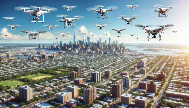
After seeing first hand at least a dozen "drones" - aka QuadCopters - Flying in a distinct raster/meandering pattern overhead, almost moving in a grid like pattern, something told me there was something going on, but not necessarily nefarious.
These things were pretty loud - not as loud as a helicopter - but loud enough that you could tell they were consuming a good bit of power just from the sound generated from the propeller wash. These were definitely NOT consumer type quadcopters.
After one practically flew over the house, but at a decent altitude, I could estimate it was probably around the size of a Smart commuter car. Since it was pretty dark, I was unable to get any meaningful footage via the cell phone...
But here's something else that stood out - these things were - complete with full compliance navigation lights. If there was something nefarious going on, they definitely wouldn't be running those...at least maybe if I was a "bad guy" I'd be rollin with the lights off.
These appeared to be MAPPING the territory. I cannot say for SURE that is the case, but the grid like rastering back and forth tells me, it is digitizing or mapping the terrain. It COULD be that even though there is 2D mapping via Google Earth etc, there isn't REAL WORLD OBSTACLE mapping that an autonomous vehicle would need for collision avoidance. THAT'S what I think is going on here..
I don't know WHO is compiling the database of this map - but I would imagine there's going to be some serious coin to be made if newcomers to the "quadcopter/drone service industry" need a reliable 3D map of the terrain to do their Amazon/XYZ deliveries...This is pretty big, as it would most likely go to govt/law enforcement first, but there has to be some commercial front runners to help pay for the initial costs...Flying anything takes HUGE amounts of energy.
Not saying I'm gonna guarantee this is the "reason" for these things, but my spidey sense is telling me it probably is...
Correct.
Trump absolutely was in on this. I'm about 75% sure they are security/sniffer drones
Not sniffer drones.
Massive push for commercial use of UAS/UAVs...
Read...Scroll down: https://www.njdottechtransfer.net/uas/
I'm curious, have they flown over a red state? I see NJ, MD, etc. It's duck season here, I'm pretty sure they look a lot like ducks to folks 'round here.
Oh yeah...bring it the reveal Boss!
See the paper/PDF: https://www.njdottechtransfer.net/2017/12/05/unmanned-aerial-vehicle-uav-peer-exchange/
The Bureau of Aeronautics leads the department’s UAS initiatives.
ALL states will manage "drones" aka UAS/UAVs (unmanned aerial vehicles) through each individual state's DOT (dept of transportation).
Found the nuke?
Well.... what if "flying cars" really are going to soon be marketed? Can we be the Jetson's?? I think so.
That had dawned on me because what papa T said a while back.
Incidentally, the DOT is handling everything that has to do with "drones".
Not sure I would want a flying car... flying in a piper cub made my hiney hole pucker... and a "personal drone" wouldn't be larger than that.